
iOS 離線地圖核心程式碼解析
編輯:iOS 開發綜合
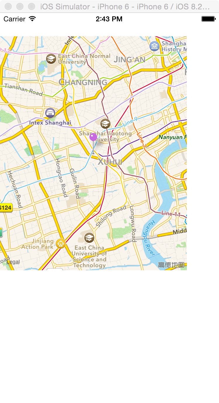
離線地圖或指定地點顯示可透過 MKMapView 與 CLGeocoder 完成。先建立地圖檢視,再以地址字串進行地理編碼,取得座標後放置註解。
核心流程
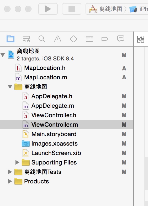
ViewController 建立 MKMapView 並設定 delegate。geocodeQuery 使用 CLGeocoder 查詢地址,完成後移除舊註解、調整地圖區域,並加入新的 MapLocation。
MapLocation 遵循 MKAnnotation,提供 title 與 subtitle,用來顯示地點名稱與地址資訊。MKPinAnnotationView 則負責大頭針樣式與動畫。
- 上一篇文章: UIPickerView 選擇欄控件使用解析
- 下一篇文章: UITableViewCell 使用與自定義教學